
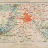
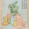
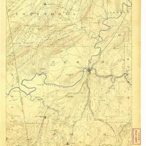
This is an original 1882 black and white relief line-block map of Britain as it appeared in 658.
CONDITION
This 129+ year old Item is rated Near Mint / Very Fine+. Light aging throughout. No creases. No natural defects. No surface rub. No tears. No water damage. Please note: There is printing on the verso.
- Product Type: Relief Line-block Map; Black / White
- Grade: Near Mint / Very Fine+
- Dimensions: Approximately 5 x 7 inches; 13 x 18 cm
- Authentication: Serial-Numbered Certificate of Authenticity w/ Full Provenance
- Protection: Packaged in a custom archival sleeve with an acid-free black board (great for display, gift-giving, and preservation)
Period Paper is thrilled to offer a small collection of maps that date back to the late 1880s and depict Great Britain in the later half of the First Century CE. Take a look at how the boundary lines changed over the years throughout England, Scotland and Wales.
Keywords specific to this image: Kent, Strathclyde
XELA2C82
Related products
Sale
Original price was: $59.99.$49.19Current price is: $49.19.
Sale
Original price was: $49.99.$41.99Current price is: $41.99.
Sale
Original price was: $49.99.$36.99Current price is: $36.99.
Sale

Original price was: $6.99.$5.17Current price is: $5.17.